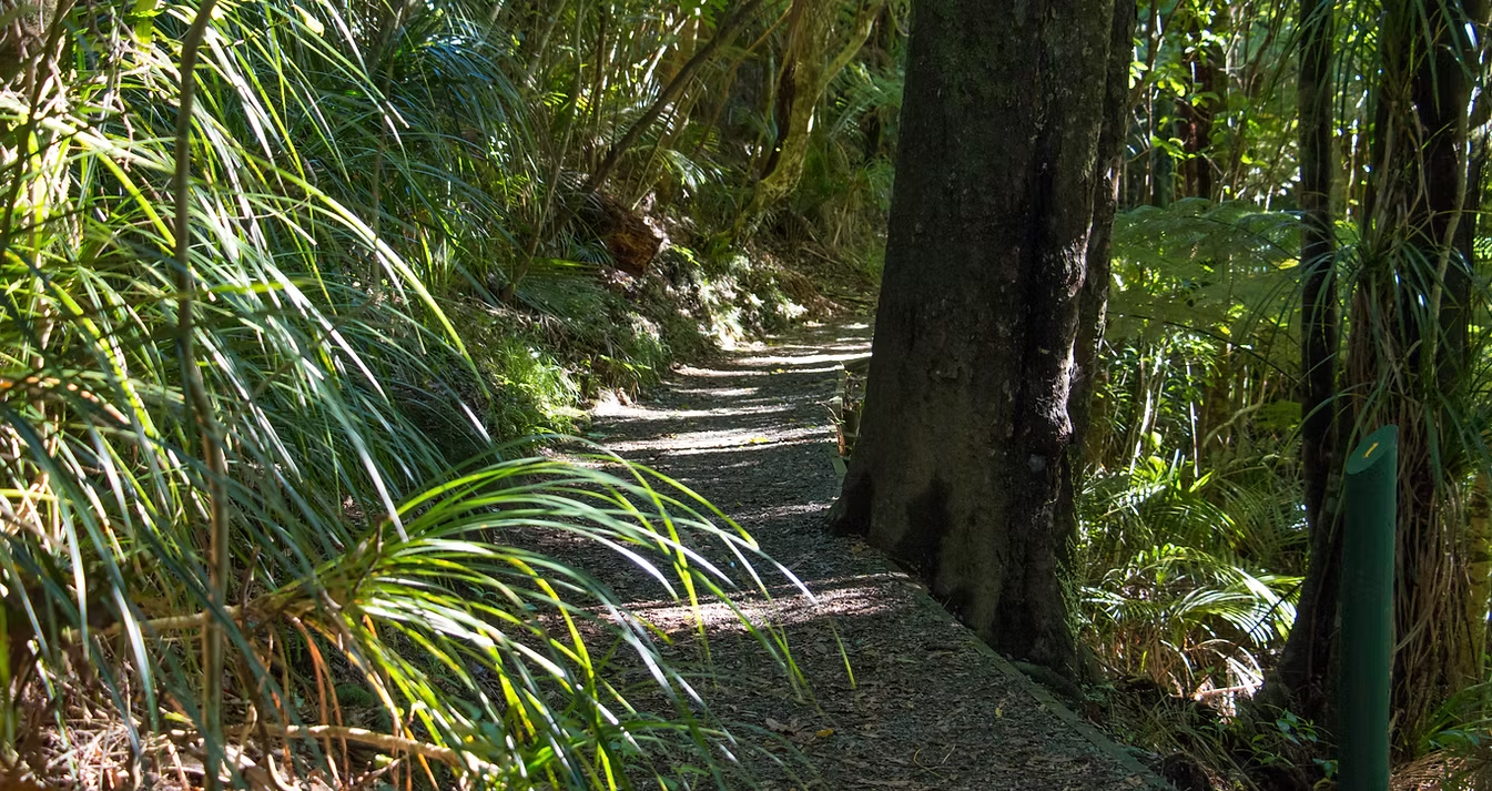
Our Beautiful Walks
TRACK CLASSIFICATION
Walk
Easy well-formed tracks suitable for most ages and fitness levels. These are clearly marked.
Track
Marked tramping tracks require skill, experience and average fitness.
REMEMBER
Take water with you, few of the tracks have streams nearby.
Always travel in a group and leave trip details with someone reliable. Let them know when you return.
Pets are not allowed in the park. Hunting dogs are only allowed with a permit.
Always carry a change of clothes, waterproofs and extra food in case of an emergency.
Take all rubbish home with you.
EASY WALKS
Mangakaraa Nature Walk
1 hour return. Off Grey Road, Te Pahu. An enjoyable circuit through some of the least modified forest in the park. It is easy, but there are some short steep sections as you drop down to the stream.
Nikau Walk
3 hours return. Starting from the Kaniwhaniwha Reserve on Lime-works Loop Road, Te Pahu.
A flat, easy track that follows the Kaniwhaniwha Stream then loops around a lovely area of forest.
Kaniwhaniwha Caves Walk
3 hours return. Also starting from the Kaniwhaniwha Reserve on Lime-works Loop Road Te Pahu. Ten minutes from the Nikau Walk loop, along the Bell Track, you can visit two small caves.
It's a 20 meter walk through the main cave with one short "crawl" section. Torches are required. (See Bell Track on the map)
From the Corcoran Road, Te Pahu, carpark is an easy 5-minute walk to a good vantage point and picnic area on the northeastern slopes of Pirongia.
GOOD VIEWS
Ruapane Lookout (Pirongia)
Drive to the carpark at the end of Corcoran Road, Te Pahu. 1 - 1½ hours walk from the carpark to the lookout. It is a steady climb up the Tirohanga Track to the Ruapane Lookout, but the track is well formed for most of the way and is suitable for family groups with moderate fitness.
In fine weather the view is superb.
Wharauroa Lookout (Pirongia)
Drive to the carpark at the end of Grey Road Te Pahu. 2-3 hours walk from the carpark to the lookout. The Mahaukura Track starts off at a fairly easy grade but it does get steeper.
The last 30 metres involves scrambling over a rocky outcrop, but the reward is an excellent view across the Waikato.
Karioi Lookout / Te Toto Track
Follow Whaanga Road south along the coast from Raglan to the Te Toto carpark. It is a 2½ -3 hour walk from the Te Toto carpark to the lookout. This is a fairly strenuous climb but the views along the coast are wonderful.
After crossing an open grassy area, the track follows a rocky ridge covered in windshorn trees. At a rocky bluff the track veers around to the left then climbs steeply to a prominent ridge. Look for the signposted sidetrack down to the lookout about 10-minute walk along this ridge.
SUMMIT OPTIONS
Several tracks lead to the summits of Pirongia and Karioi - the ones listed are the most popular. For information on the options pick up the Department of Conservation's Pirongia brochure and the appropriate topographical maps (NZMS 260 S15, R14 or R15).
Tirohanga Track (Pirongia)
Drive to the carpark at the end of Corcoran Road, Te Pahu. Walk 3-5 hours to the summit. Climb up to Ruapane Lookout then continue along the track past Tirohanga and on up to the summit.
This upper section of track is steep and not so well formed until you get to the easy boardwalk just before the summit. Great views from the lookout tower on the summit.
Tahuanui Track (Pirongia)
3-5 hours to the summit, starting from the Kaniwhaniwha Stream Reserve on the Limeworks Loop Road, Te Pahu.
This track branches off the Nikau Walk (see above) and climbs steadily up a tawa clothed ridge to intersect with the Tirohanga Track 5 minutes from the summit. It is the easiest climb of the summit tracks but is longer than Tirohanga.
Te Toto Track (Karioi)
Follow Whaanga Road south along the coast from Raglan to the Te Toto carpark. It is 3-4 hours walk to the summit.
From the lookout turnoff it takes 40 minutes to reach the summit. This part of the track is not as strenuous as the initial climb but still has its ups and downs, with ladders on some of the rocky sections.
Go to the helipad 100 metres past the radio tower for the best view. The summit is another 40 minutes on along the main track.
OVERNIGHT CIRCUITS
A good way to make the most of a Pirongia summit trip is to return by a different route.
Some circuits can be done in a day others require an overnight stay at the hut. Use the Department of Conservation's Pirongia brochure and the appropriate topographical maps (NZMS 260 S15, R14 or R15).
Depending on your time frame, experience and level of fitness, there are several options.
Tirohanga - Mahaukura Circuit (8-11 hours total)
From Grey Road, Te Pahu, take Ruapane Track which links the Nature Walk to Waites Road and Ruapane. Then follow Tirohanga Track past the trig to the summit.
The hut is another 30 minutes past the summit. To return to Grey Road via the Mahaukura Track, take the signposted turnoff from the Tirohanga Track 5 minutes east of the summit.
Note: the first part of the descent to Mahaukura (899 m) is a bit muddy and can be difficult.
Tirohanga - Tahuanui Crossing (8-10 hours total)
This crossing is the easiest of the three options but does involve organising shuttle transport between the starting and finishing points.
Tahuanui - Bell Track Circuit
This requires an overnight stay at the hut. The trip up the Tahuanui Track (see above) takes 3-4 hours but the descent along Bell Track takes 8-10 hours. The Bell Track can be muddy and difficult in places.
From the hut, walk along the ridge, over the Cone (Pirongia's second highest peak) then drop down a long spur past the central campsite, through open clearings to Kaniwhaniwha Stream where there is a short side track up to the tall kahikatea.
From here it is about a 1½ - 2 hour walk to the carpark.